What the contract names as governing, and why that beats accuracy
Every experienced general contractor knows: it does not matter how precise your weather data is if the contract already names the record that will govern claims. Delay disputes often come down to documentation, but before anyone opens a rain gauge log or weather site, the first stop is the contract's language.
Some contracts specify the nearest National Weather Service station. Others call out a named airport, a city gauge, or allow only on site instruments. The key is not which source is the most accurate, but which one everyone agreed to use when the ink was fresh. If the contract does not spell it out, the owner's rep or reviewer will typically default to the largest, most established source within reasonable distance.
This means you can have a perfectly calibrated on site gauge, but if the contract says "official records from XYZ airport," that is the data that will be used to decide your delay claim. Arguments about accuracy are often moot when a contract's governing source trumps all other evidence.
Keep reading: Eight Daily Report Habits That Get Weather Days Denied
ASOS and AWOS: hourly airport observations and what they record
Across the United States, Automated Surface Observing Systems (ASOS) and Automated Weather Observing Systems (AWOS) sit at hundreds of commercial and regional airports. These stations send hourly readings directly to the National Weather Service and aviation authorities. For most commercial construction claims, this is the default third-party record.
What ASOS and AWOS Measure
ASOS and AWOS track precipitation, temperature, wind, humidity, and barometric pressure. For precipitation, they use a heated tipping bucket that records rainfall to the nearest hundredth of an inch. Data is time-stamped and logged every hour, 24 hours a day.
These systems are operated and maintained under federal oversight. Calibration happens on a regular schedule, with logs kept by airport or FAA personnel. When a contract or dispute needs a reliable outside record, these logs and hourly reports are almost always accepted as "official."
Limitations for Construction Sites
Airport weather stations are often several miles from the job site. Precipitation can vary widely across even a small city, so airport records may not reflect what actually fell on your concrete forms or open trenches. Still, their status as the official station gives them weight in any claim.
How far a station can sit from your site before distance becomes an argument
Distance is a common flashpoint in weather-related delay claims. Many major cities have just one or two ASOS stations, often located at the main airport. A job site on the far side of the metro area could be ten or even twenty miles from the official gauge.
Owners and contractors both have an interest in picking a record that matches on site conditions, but also one no party controls. The more local a weather event, the less reliable an airport reading becomes for a specific site. Summer thunderstorms, for instance, can dump an inch of rain on your site while the airport gets nothing.
In review, the actual distance at which a station's data starts to lose credibility depends on the geography, the size of the storm, and the experience of the reviewer. In most cases, the farther away the station, the easier it is to challenge the relevance of its readings. Some reviewers will accept data from up to five miles if nothing closer is available, but others insist on a gauge within two miles, or even on site during critical pours.
Keep reading: The Rained Out Morning Checklist for Site Superintendents
On site tipping bucket gauges, siting rules and calibration records
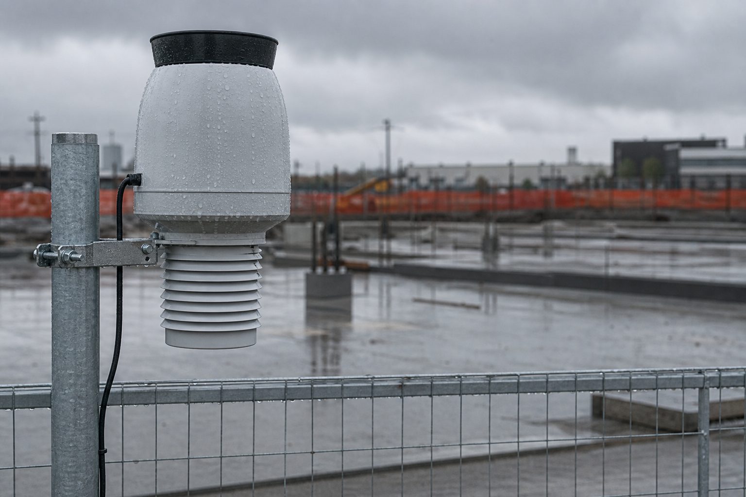
Many contractors install their own rain gauges on site, aiming for direct measurement of weather impacting the project. The most common instrument is the tipping bucket rain gauge, which collects rainfall and tips a bucket after a fixed amount, recording each event electronically.
Proper Siting and Maintenance
Placement makes or breaks a site gauge's credibility. The gauge must sit away from buildings, overhangs, or trees that could shield it from rain or cause splashback. It should be mounted at the recommended height, typically about four feet off the ground, on a level, stable surface. Documentation of siting, including photos and coordinates, is standard best practice.
Equally important is a consistent calibration record. A tipping bucket gauge should be checked and calibrated at intervals recommended by the manufacturer, with each adjustment logged in writing. If a claim relies on on site gauge data, expect a reviewer to request the maintenance records and compare them to the manufacturer's specifications.
Defensibility in Disputes
On site data can be powerful, especially when it shows a large difference from the nearest airport. But without documented siting and calibration, owners may challenge the readings as unreliable. Some contracts require both parties to agree on the installation and maintenance of any on site gauge in advance, specifically for claim purposes.
NOAA NCEI Local Climatological Data as the archived after the fact record
When a dispute arises months or even years after the fact, official archives become the backbone of delay documentation. The National Centers for Environmental Information (NCEI), part of NOAA, maintains Local Climatological Data (LCD) for most ASOS and AWOS stations nationwide.
LCD includes daily and hourly summaries of temperature, precipitation, wind, and other observations, all time-stamped and certified by NOAA. These records can be retrieved for nearly any date, and are accepted as the "gold standard" for after the fact review. Attorneys and claims consultants often cite LCD reports in formal submissions.
However, LCD data is limited to the stations that report to NOAA, so if your site is far from any listed station, you must still make the case that the archived record is relevant to your job. The farther you are from the official gauge, the more likely an owner is to push back on your delay claim.
See how RainDelayLog handles this for commercial construction
Radar estimated rainfall and where it falls apart in a review
Radar-based rainfall estimates have become more available in recent years, especially from commercial weather services. These estimates use Doppler radar to calculate precipitation rates over a wide area, producing color-coded maps and hourly totals for any location.
Radar can fill gaps between ground stations, and in some rural areas, it is the only record available. On the upside, radar captures the movement of storms in real time, and can sometimes catch isolated downpours that miss an airport gauge entirely.
However, radar estimates rely on computer models to convert radar returns into rainfall totals. Tree canopy, building density, and terrain can all affect accuracy. In many cases, radar overestimates or underestimates rain totals compared to ground gauges. Forensic reviews often reveal that radar estimates do not match actual measured precipitation, especially for short, intense storms.
Most owners and reviewers will accept radar data only as supporting evidence. They rarely rely on it as the sole record for a claim. If your documentation hinges on radar alone, expect pushback unless you can tie it directly to on site gauge readings or another accepted source.
Private forecast subscriptions and certified weather reports
Commercial construction projects sometimes subscribe to private weather services. These companies provide daily forecasts, alerts, and sometimes site-specific rainfall or wind data. Some offer "certified" weather reports, which include a formal letter or affidavit stating the observed conditions for a given location and time.
When a claim turns on the exact amount of rainfall, a certified report can carry weight, especially if the service is known and the data matches other records. These reports can also fill in gaps when public records are missing, or provide hourly detail that an archived LCD summary cannot.
However, not all reviewers accept private certifications at face value. The reliability of the private service, the methods used to collect data, and whether the service is independent of either party all come under scrutiny. Some contracts explicitly exclude private weather products unless both parties agree in advance.
For many jobs, private data is most useful as backup or for internal planning, not as the primary record in a claim. Still, a certified report may tip the scales if all other sources are ambiguous, especially when supported by site photos or field logs.
Choosing the governing source at buyout instead of during the claim
The best time to resolve which weather record will govern delay claims is not when rain falls, but at buyout, before the first shovel turns. If both parties agree in writing to a specific source, such as the nearest ASOS station or a jointly installed on site gauge, future disputes shrink dramatically. This prevents arguments about distance, calibration, or the validity of radar estimates after the fact.
Some contractors now use daily site logs that automatically attach weather station data, including timestamps and supporting documentation. When you need to prove a delay, these logs assemble all the relevant records, airport readings, site gauge data, radar, and even site photos, into a single, defensible packet. Tools that automate and archive this process help you meet both the letter and the spirit of the contract, and make it harder for any reviewer to argue with your delay claim.